Distinción - Lic. Bellante
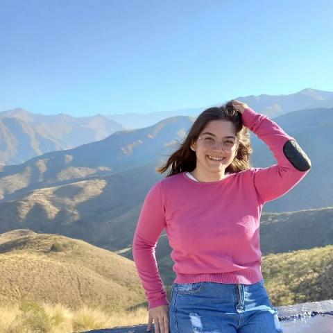
La Lic. Micaela Bellante, becaria doctoral del Instituto, ha recibido la "MENCIÓN ESTÍMULO" por parte de la Comisión Directiva de la Asociación Geológica Argentina por su presentación en el marco del reciente XXII Congreso Geológico Argentino.
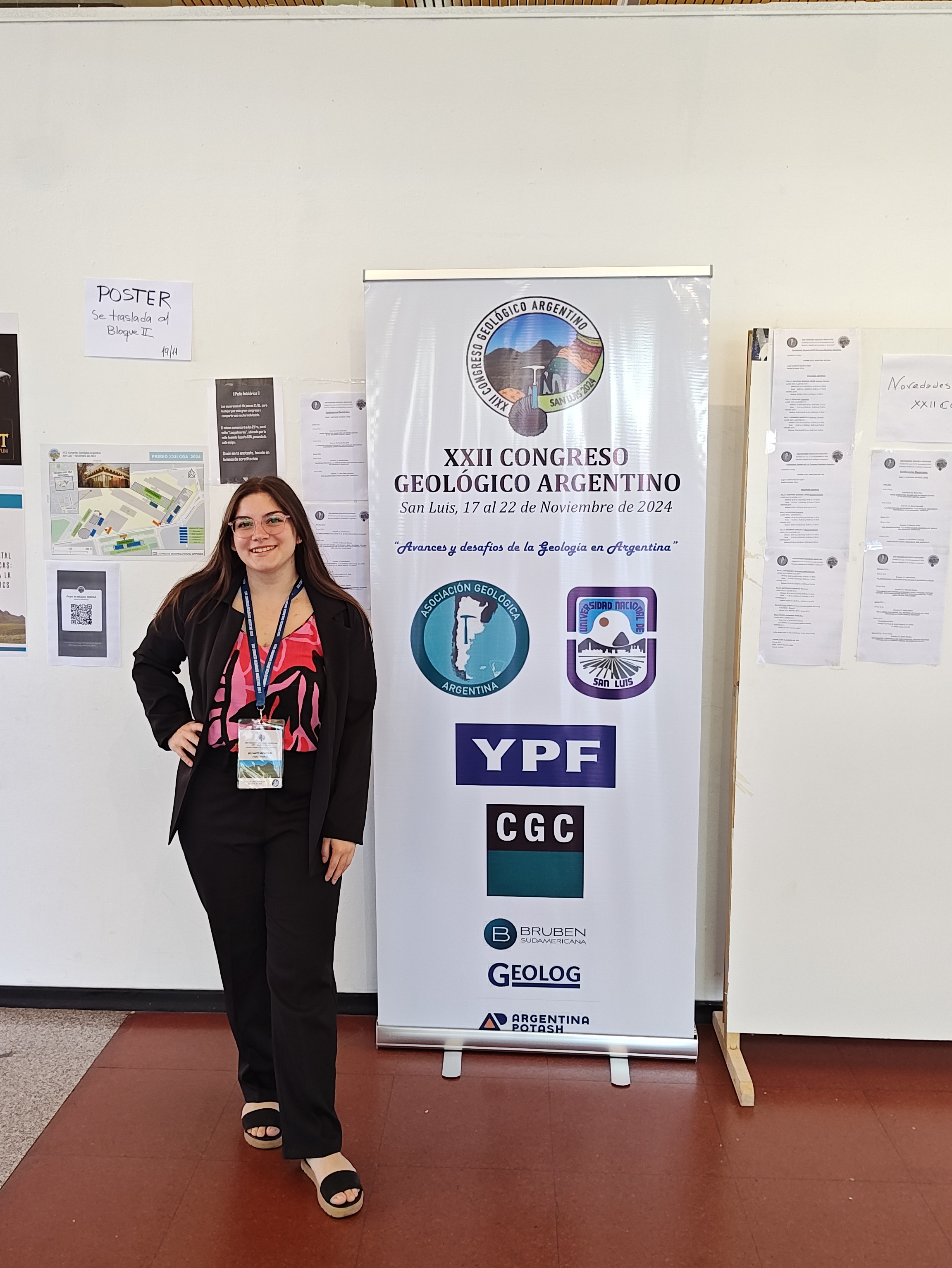
La presentación del Congreso, se enmarcó en su Trabajo Final de Licenciatura:
“MAGNETO-FÁBRICA DE LA FORMACIÓN VILLACORTA (SILÚRICO SUPERIOR) EN LA SIERRA DE FAMATINA, LA RIOJA, ARGENTINA”
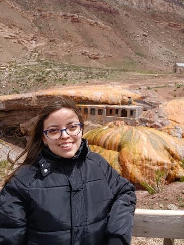
Autores: Micaela Bellante, Andrés Cukjati, Pablo Franceschinis, Sergio Marenssi y Augusto Rapalini
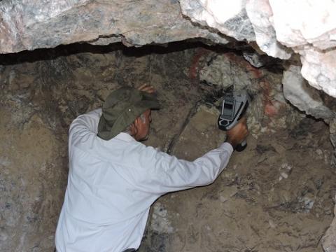
En este trabajo se realizó una caracterización de la Formación Villacorta a lo largo de la quebrada de los Oitos en el faldeo occidental de la Sierra de Famatina, La Rioja, Argentina. La formación Villacorta está dividida en 5 miembros informales y se compone en su mayor parte de areniscas. La misma se encuentra confirmando un pliegue anticlinal junto con la formación subyacente. A través de estudios de anisotropía de susceptibilidad magnética se pudo caracterizar la fábrica magnética y se obtuvo una fábrica sedimentaria con impronta tectónica (compuesta) marcando una deformación con dirección E-O. Los estudios se realizaron en el Laboratorio de paleomagnetismo Daniel Valencio del IGEBA (CONICET-UBA).
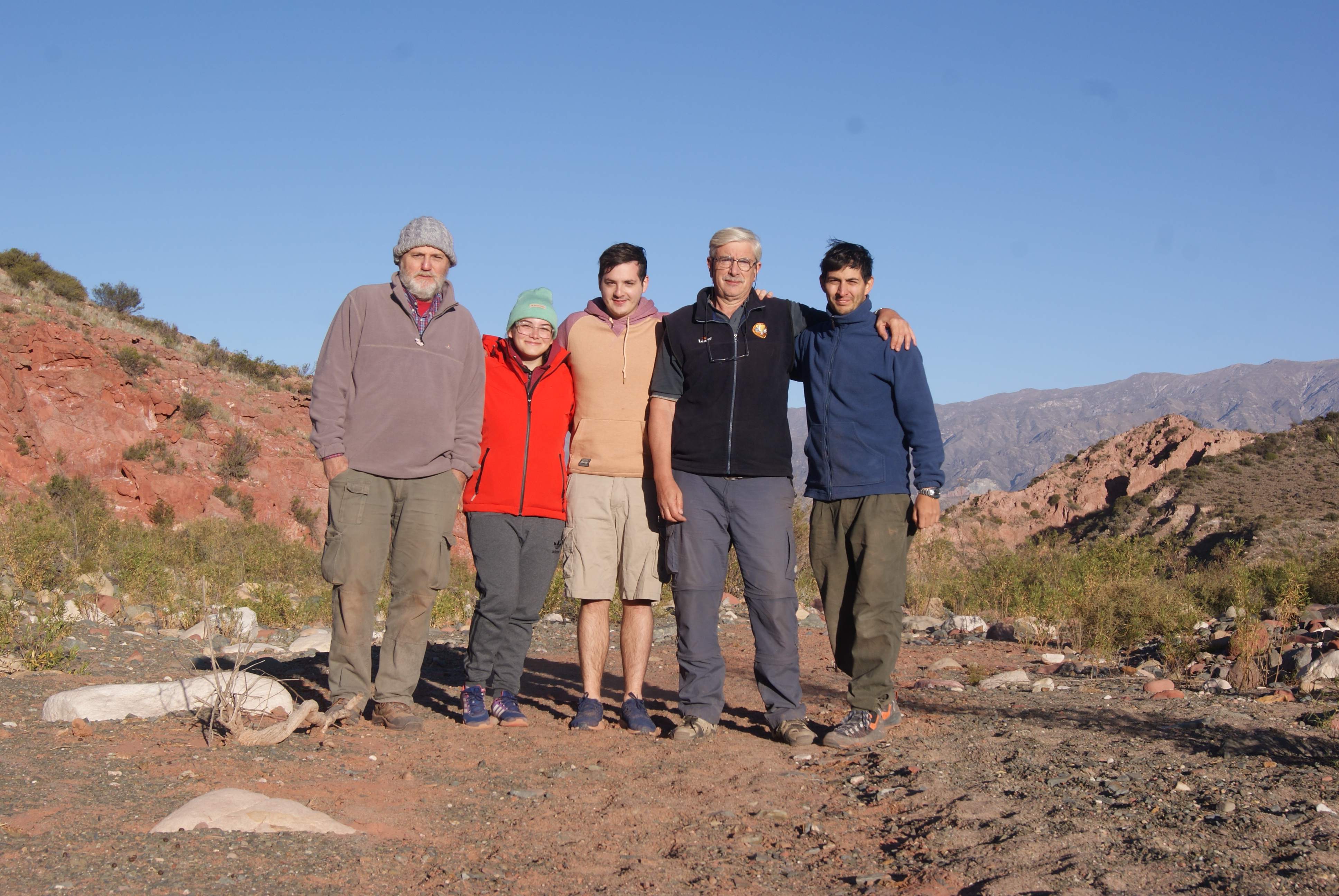
En la foto, los autores: Augusto Rapalini, Micaela Bellante, Andrés Cukjati, Sergio Marenssi y Pablo Franceschinis
El IGeBA felicita a la Lic. Micaela Bellante por esta distinción.
Distinción Grupo Rad-Ar del IGeBA
El grupo de trabajo liderado por investigadores del IGeBA, Rad.Ar - Radón Argentina, recibió una distinción de parte del Concejo Deliberante de la Ciudad de Cosquín, Provincia de Córdoba,
El grupo de trabajo liderado por investigadores del IGeBA: Rad.Ar - Radón Argentina, recibió una distinción de parte del Concejo Deliberante de la Ciudad de Cosquín, Provincia de Córdoba,
El Concejo Deliberante de la Ciudad de Cosquín, Provincia de Córdoba, declara de Interés Municipal al Proyecto Rad.Ar - Radón Argentina, que tiene por objetivo estudiar la radioactividad natural y su impacto en la incidencia de cáncer en la Argentina.
Felicitaciones al grupo de trabajo!
Declaración del Concejo Deliberante de la Ciudad de Cosquín, Provincia de Córdoba